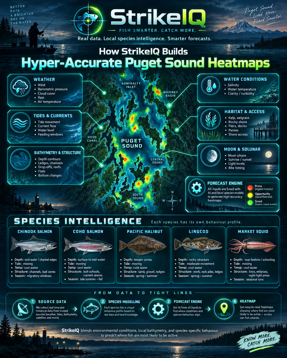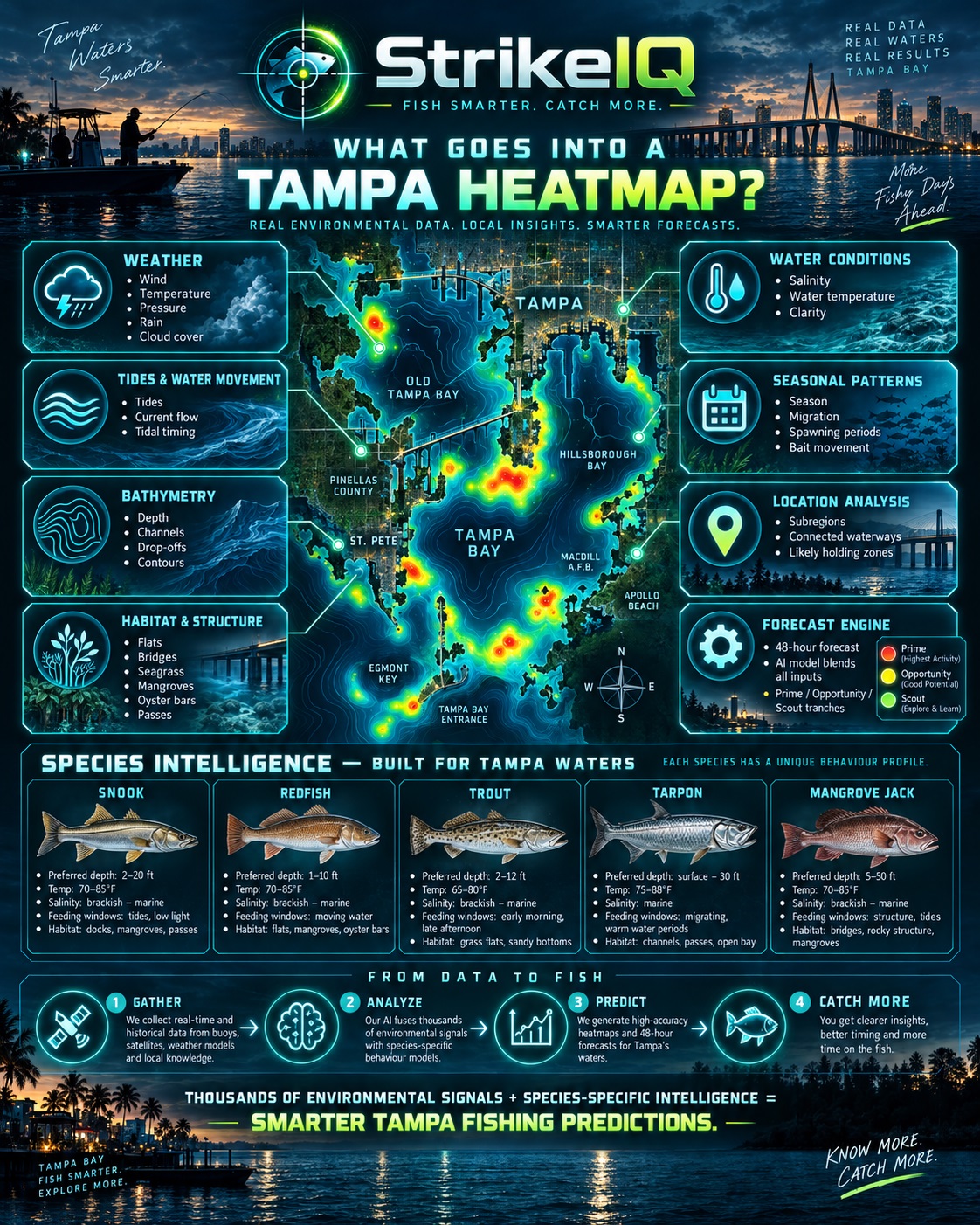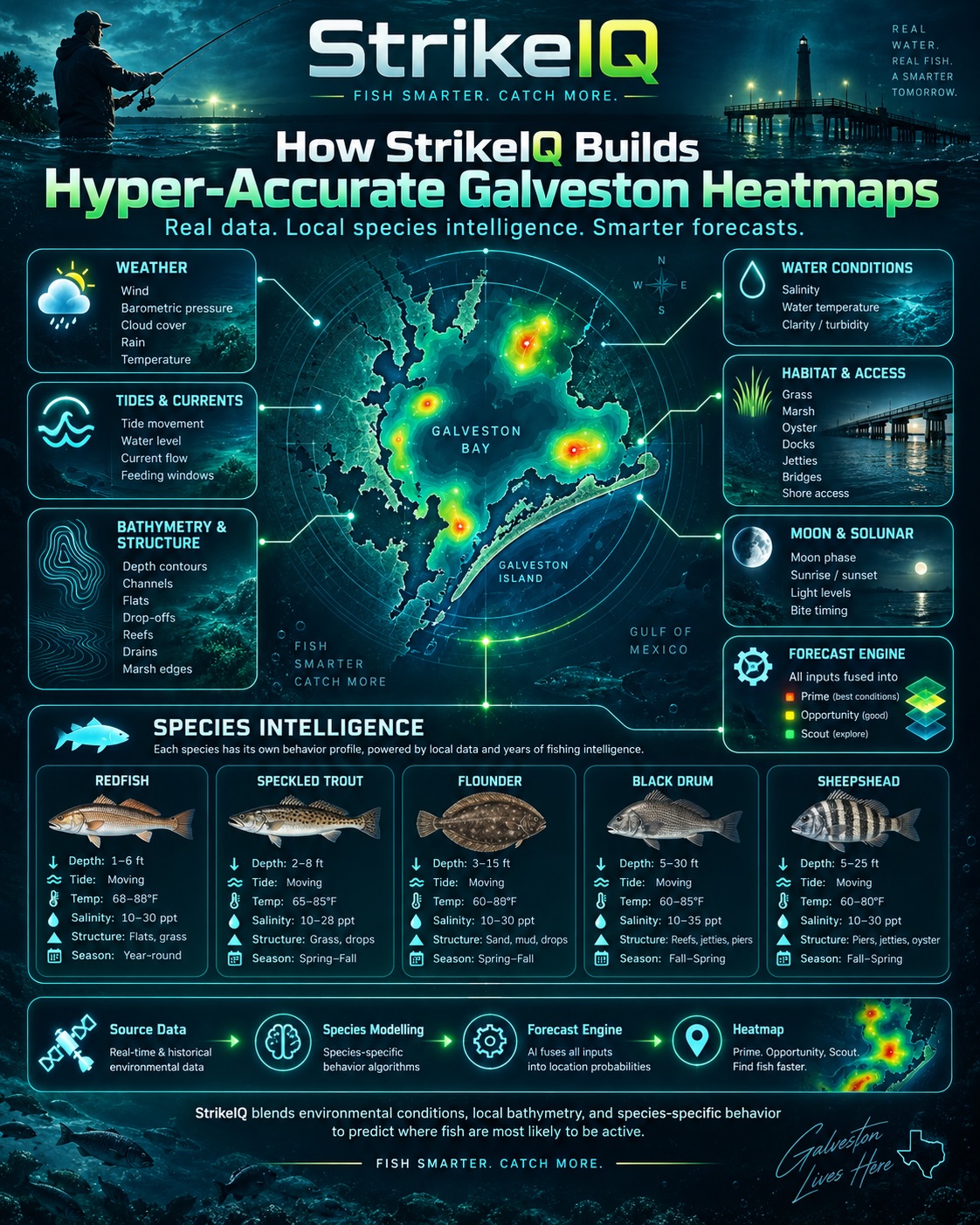
Beneath the BiteMap: How StrikeIQ Builds Galveston’s Fishing Heatmaps.
A shallow flat, a channel edge and the mouth of a bay can be close together on a map yet offer very different fishing. Change the tide, the water temperature or the species you are targeting, and the most promising option can change again. StrikeIQ brings those relationships together in Galveston Bay’s BiteMap. We combine seabed mapping, regional habitat information, ocean forecasts and species-specific modelling to help anglers decide where to focus and when to fish. The result is a changing picture of fishing opportunity built around the water beneath you and the conditions around it. Here is what goes into that picture.
It starts with the shape of the seabed
The foundation is NOAA’s Galveston Bay G260 bathymetric digital elevation model: a gridded representation of underwater depth assembled from hydrographic survey data. Its native spacing is one-third of an arc-second, and StrikeIQ processes the terrain on a 10-metre analysis grid. Depths use Mean Lower Low Water, or MLLW, as their reference.
We use that information to examine depth, slope and how each location sits relative to the surrounding bottom. Those relationships help identify candidate features such as shallow flats, channel edges, drop-offs, local depressions, deeper holes and shoal edges. A depth number becomes more useful when the model can distinguish a broad flat from the edge of deeper water.
The Galveston spatial package contains 29,893 depth-linked candidate locations. These are places the engine can evaluate; they are not 29,893 confirmed fishing spots. The preparation also creates depth contours, including one-metre intervals at close zoom. That interval describes the vertical difference between contour lines, not one-metre horizontal survey resolution.
Habitat gives the terrain meaning
Bottom shape is one part of the story. Regional GIS preparation also draws on Texas Parks and Wildlife Department oyster-habitat surveys and the US Fish and Wildlife Service’s National Wetlands Inventory. These help describe mapped reef habitat and wetland edges alongside the terrain-derived features.
The preparation retains habitat classifications and source quality instead of treating every mapped feature as equally certain. Surveyed habitat is historical evidence: it does not prove that a reef is unchanged today or that bait is present there right now. Only appropriately resolved and eligible features should influence a fishing recommendation.
For the angler, this adds a useful layer of context. The question becomes how a location’s depth, shape and available habitat fit the fish being targeted.
The water is modelled as a moving system
Galveston’s ocean-model input comes from NOAA’s NGOFS2 operational forecast system. It provides forecasts of water levels, currents, water temperature and salinity across the northern Gulf, including Galveston Bay. StrikeIQ uses a 48-hour sequence of direct hourly surface forecasts.
Eligible candidate locations are associated with the model’s local mesh so that the environmental evidence relates to their position. This supports a much more local assessment than applying one set of bay-wide conditions to every point. The model mesh has its own resolution, however; detailed seabed mapping does not turn an ocean forecast into a sensor at every location.
Current speed and direction contribute to the assessment of feeding and movement conditions. Temperature and salinity are compared with the target species’ response curves. Water-level information helps the engine assess changing depth and access to shallow habitat. These inputs work together: an attractive bottom feature can become less suitable when the surrounding conditions change.
Where direct three-dimensional model output is available, bottom temperature, salinity and current add evidence for bottom-dependent species. Those fields arrive less frequently than the hourly surface data. The system keeps that distinction visible in its evidence and confidence rather than presenting an invented hourly bottom measurement.
Local tides, weather and freshwater complete the context
NOAA CO-OPS provides local tide predictions and water-level observations through mapped Galveston stations. Predictions and observations remain distinct. A predicted tide describes an expected pattern; an observation describes what a station measured. StrikeIQ’s regional routing connects the appropriate source to the area being assessed.
National Weather Service Houston/Galveston forecasts supply weather context, including wind, gusts, cloud cover, pressure and rainfall. Light and lunar calculations add the time-of-day and astronomical context used by the species models. USGS river-gauge observations contribute freshwater-inflow evidence where a valid discharge series is available. River stage alone is not treated as a flow measurement.
Exposed coastal water also has a different wave environment from a protected part of the bay. NOAA buoy 42035, east of Galveston, supplies nearshore Gulf context. StrikeIQ restricts that evidence to its relevant setting instead of treating offshore wave observations as conditions measured inside the upper bay.
Each species gets its own assessment
Galveston’s current public beta supports forecasts for 17 species, including red drum, spotted seatrout, black drum, southern flounder, sheepshead, Spanish mackerel, cobia and tarpon. Each uses a Galveston-specific profile covering habitat preferences, depth suitability, seasonal presence and responses to environmental conditions.
The model also distinguishes seven broad scoring areas: West Bay, Central Bay, East Bay, Trinity Bay, the upper bay and ship channel, Bolivar Roads and the entrance, and the supported Gulf nearshore area. Seasonal and geographic preferences help the engine treat those settings differently.
For example, the red drum profile includes shallow estuarine habitat and moving-water relationships. Southern flounder places more emphasis on bottom conditions and transitions between flats and channels. Spanish mackerel’s profile favours suitable nearshore and pass environments. These are modelling relationships used to rank opportunity, not observations of fish occupying those places.
How the layers become a heatmap
For a chosen species and forecast hour, the engine combines eligible location features with the relevant environmental evidence. It assesses habitat and depth together, evaluates physiological suitability, considers seasonal presence and local conditions, and estimates how favourable the setting is for feeding and movement. It also applies water-boundary, source, legal and safety filters before selecting displayed points.
The selected locations are then organised into Prime, Opportunity and Scout groups for the app. In Galveston’s public beta, Prime identifies the strongest currently valid relative opportunities in that selection. Scientific confidence is tracked separately. A highly ranked location is a place to investigate, not a percentage chance of catching a fish.
Change the species or forecast hour and the engine evaluates a different combination of conditions. That is what gives the heatmap its local character: the same stretch of water can rank differently as its suitability changes.
Realism includes knowing what is uncertain
A useful fishing forecast needs to be clear about the evidence behind it. Source age, habitat quality, model association and missing inputs affect confidence. Galveston’s current coverage does not yet include operational hourly dissolved oxygen, turbidity or chlorophyll. Where reliable inputs are unavailable, that uncertainty stays part of the forecast.
Galveston is available as a beta forecast. Its detailed modelling provides a structured starting point for a fishing decision. As the beta develops, catch records paired with fishing effort will be important for testing and refining performance. Detailed mapping and catch accuracy are separate questions; the forecast remains guidance to test on the water.
Use BiteMap to compare opportunities, choose a sensible window and make a plan. Then read the water in front of you, check current access and conditions, and record what happened. The aim is to help you arrive with a better-informed starting point and leave with something useful learned for the next trip.
Explore Galveston Bay in StrikeIQ on web, Android and iOS at www.strikeiq.fish/install